Krista Was Here

My National Park Adventures.

  • Shenandoah National Park

    This road trip was planned with a few different goals in mind. First goal, Shenandoah National Park. Second goal, see part of D.C. Third goal, see fall colors along the northeast coast. Fourth goal, Acadia National Park. I had never been to this side of the country before, so I was excited to see all the beauty and history each state had to offer. We made it a point to stop in all the states along our route. Well, all except for New York. Driving across the George Washington Bridge was enough for us 😉.

    We took a one-way flight from Salt Lake City into Ronald Regan airport, and stayed at an AirBnb in Alexandria, VA for a few nights. The first night we explored Old Town Alexandria and had dinner on main street. The next day we got up and made a day trip to Shenandoah National Park.


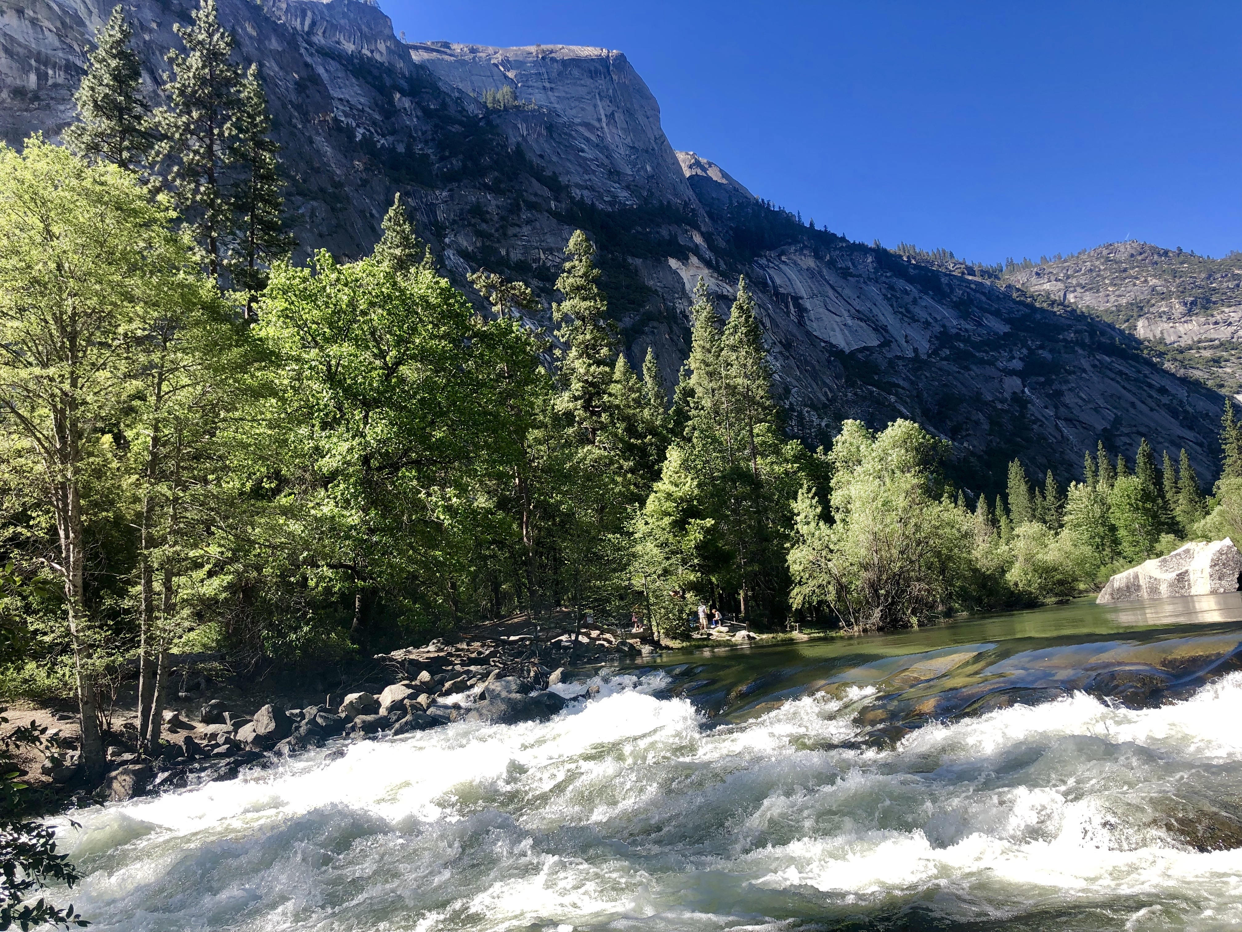
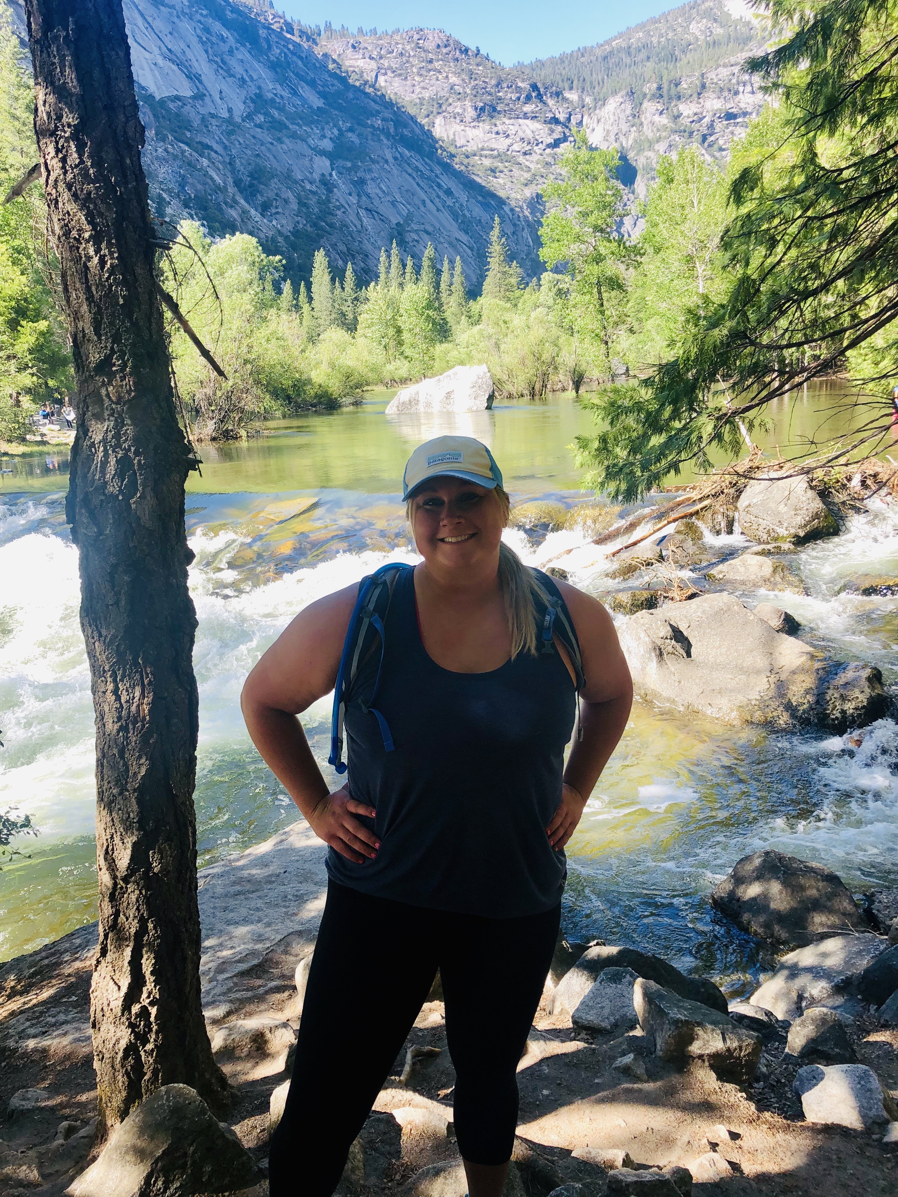
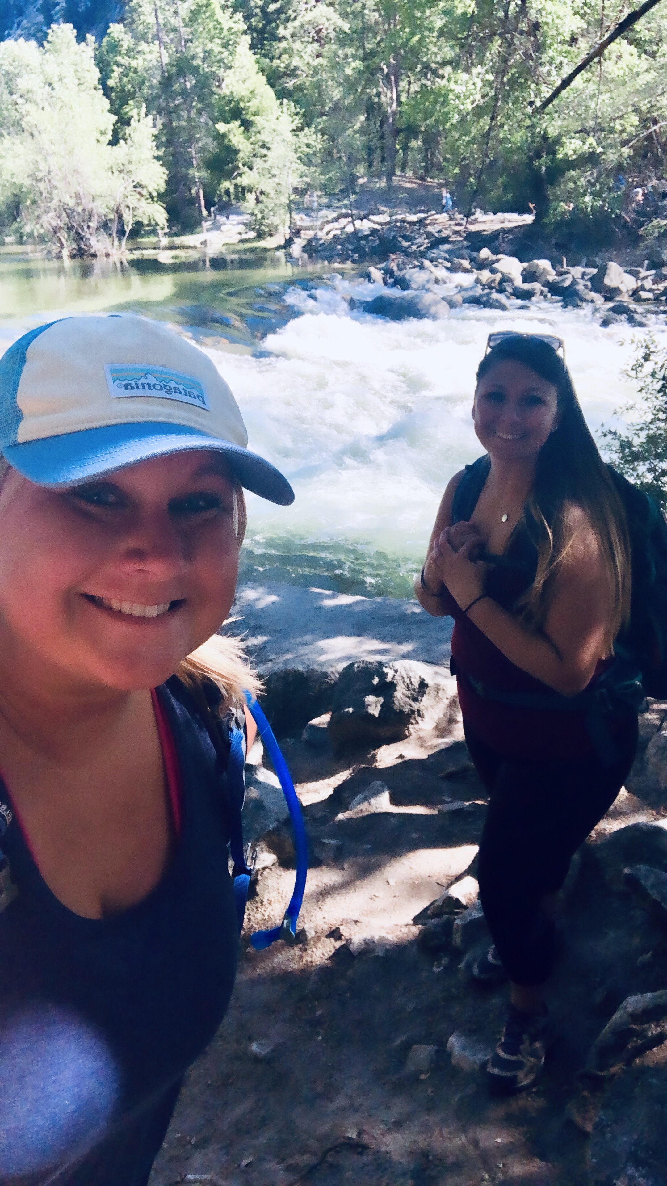
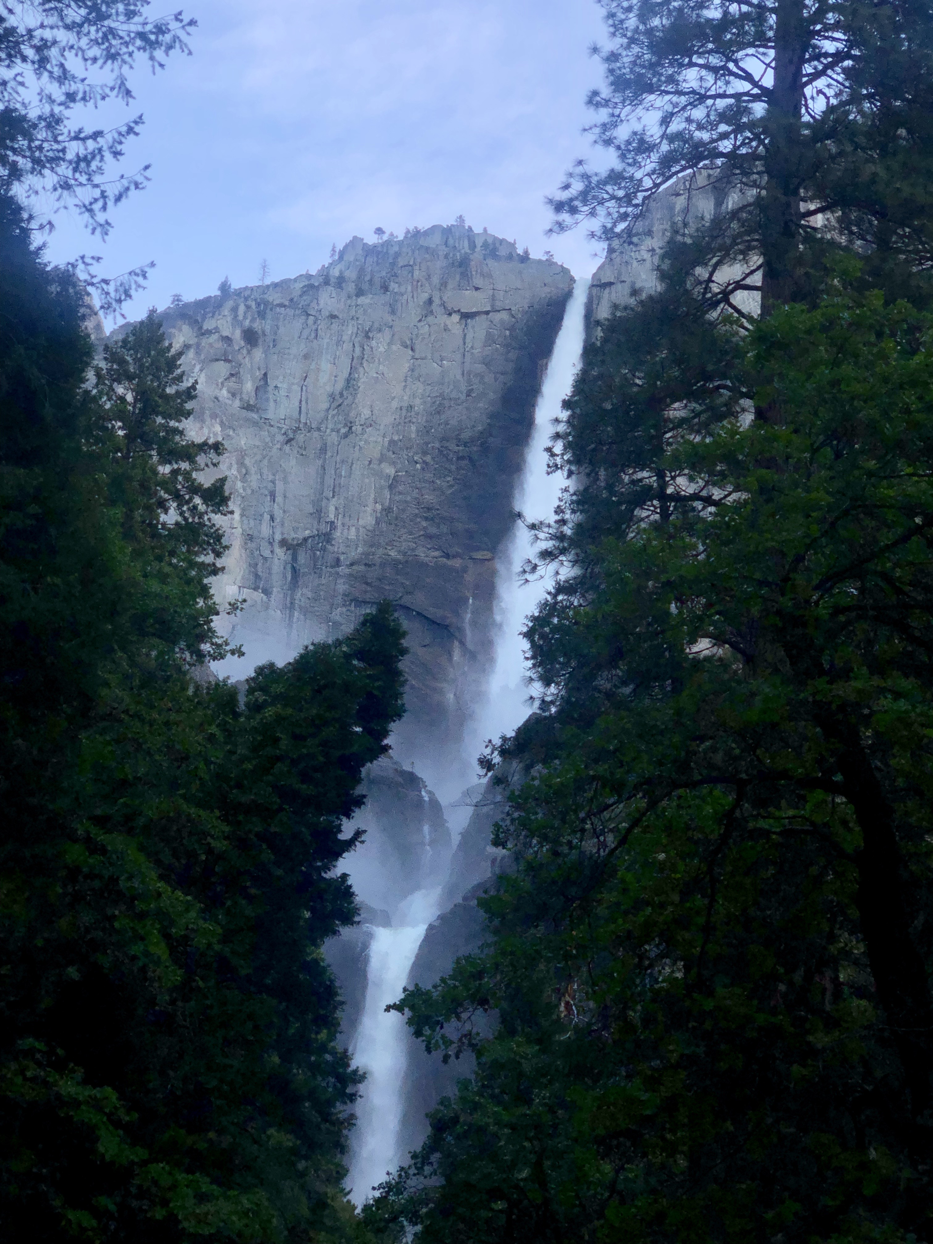
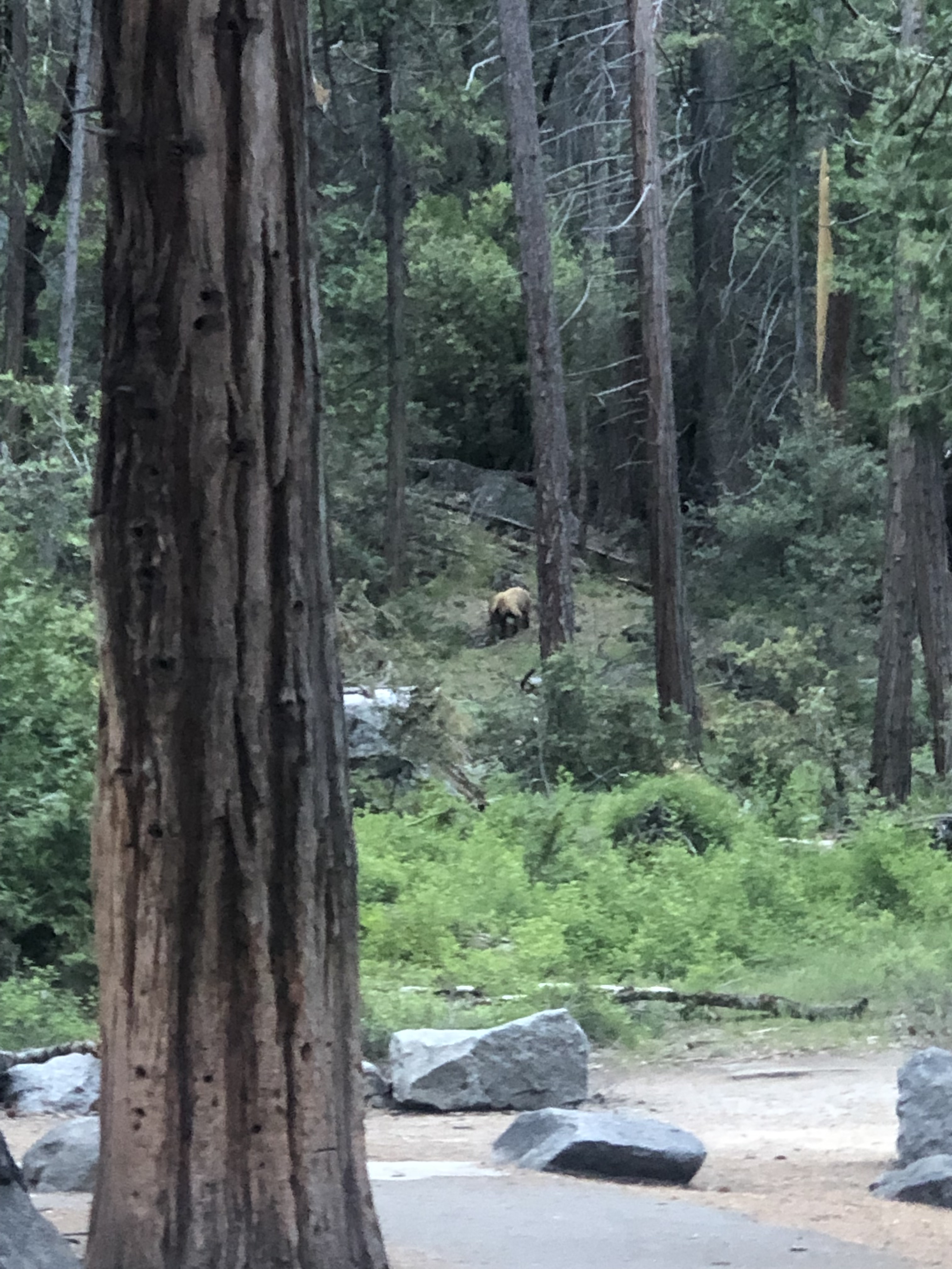
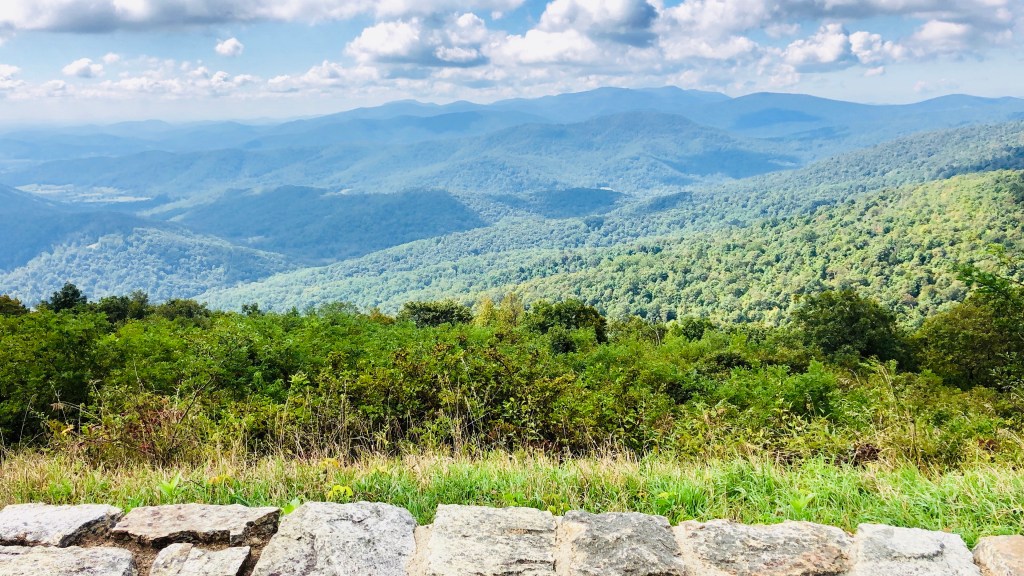
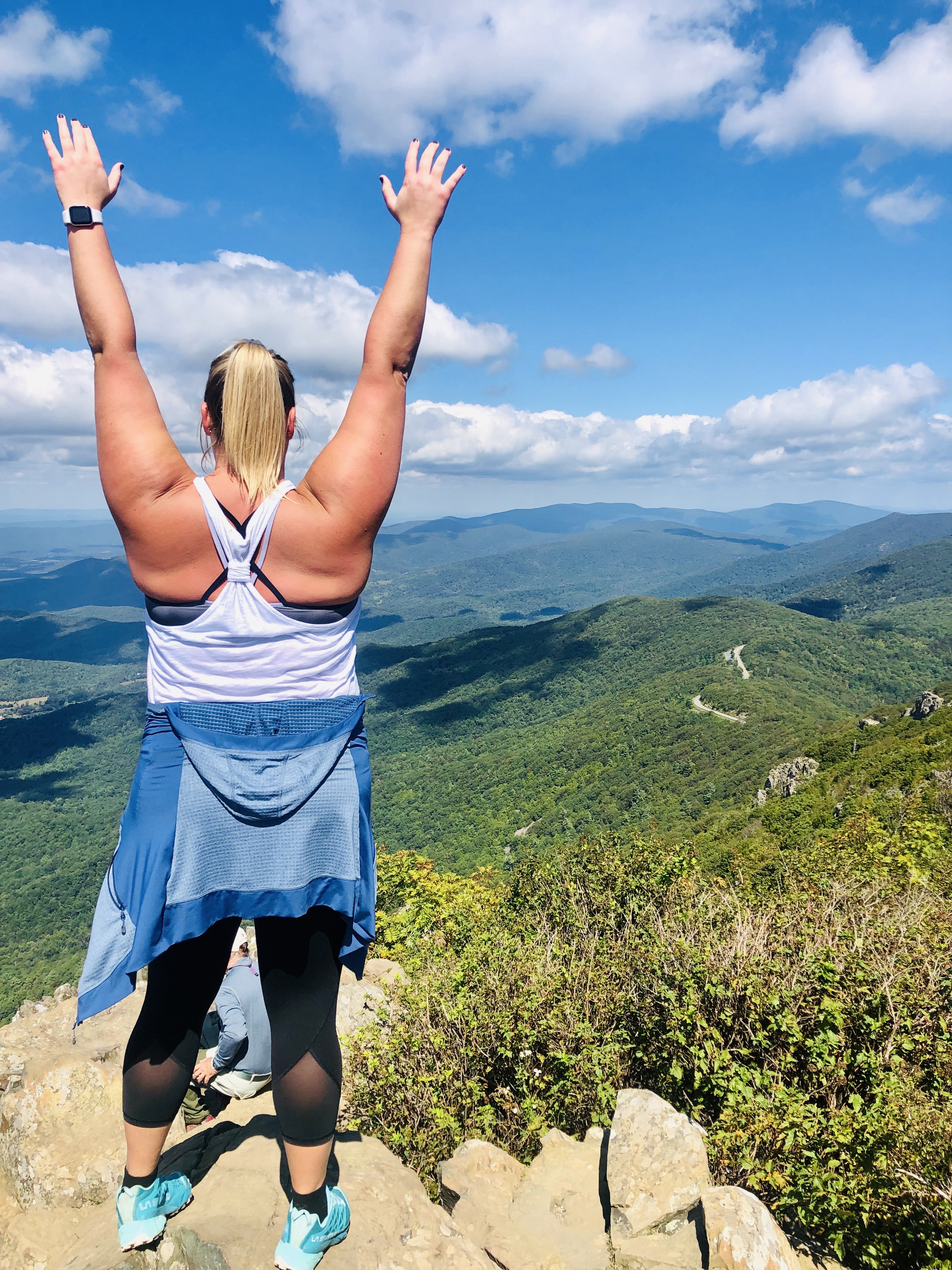
    Shenandoah National Park extends along the Blue Ridge Mountains of Virginia. At the park, we drove the Skyline Drive (scenic drive), which is a VERY popular drive in the fall. Unfortunately, we were a few weeks early for the fall colors, although it was still beautiful. The park also hosts a vast network of trails, including part of the Appalachian Trail. We stopped at overlooks to take in views of the valley, and had a picnic lunch at Elkwallow campground. We hiked Stony Man Peak, which was the tallest summit in the park. On our drive back towards Alexandria, we stopped at an apple orchard on the side of the road. We grabbed a few goodies, including candy crisp apples, apple cider, and apple cake, because…fall. No regrets as it was all delicious!!

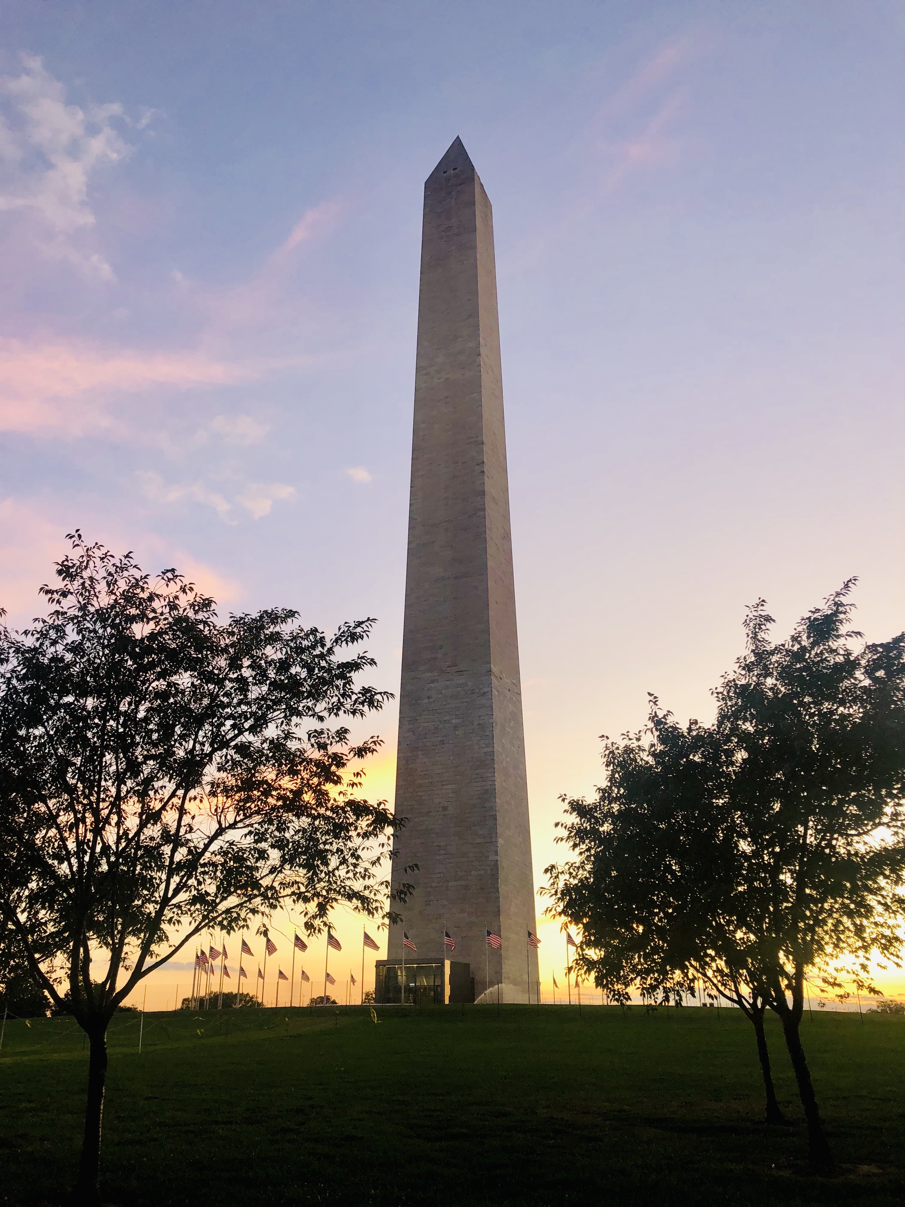
    Once we returned to our AirBnb we formulated a plan on how to see D.C. with our limited time. You could spend 2 weeks in D.C. and still not have enough time to see everything you want, so two days seemed extremely short. We decided we would each choose one thing we REALLY wanted to see, and at least accomplish that. I picked the National Mall, and we headed there first. We got to see the monuments at sunset and then continued walking around at night, and it was just so perfect. The monuments were beautiful and the history was so rich. The next day we got up and went to the Holocaust Museum, which was Destiny’s pick. We spent a few hours there, which were very deep and moving. Although it was not near enough time, it was a good, small taste of D.C.

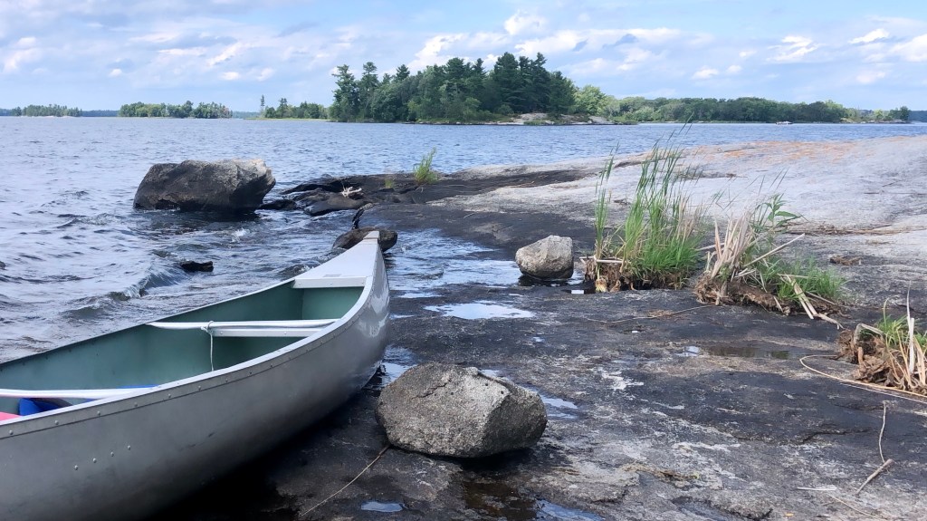
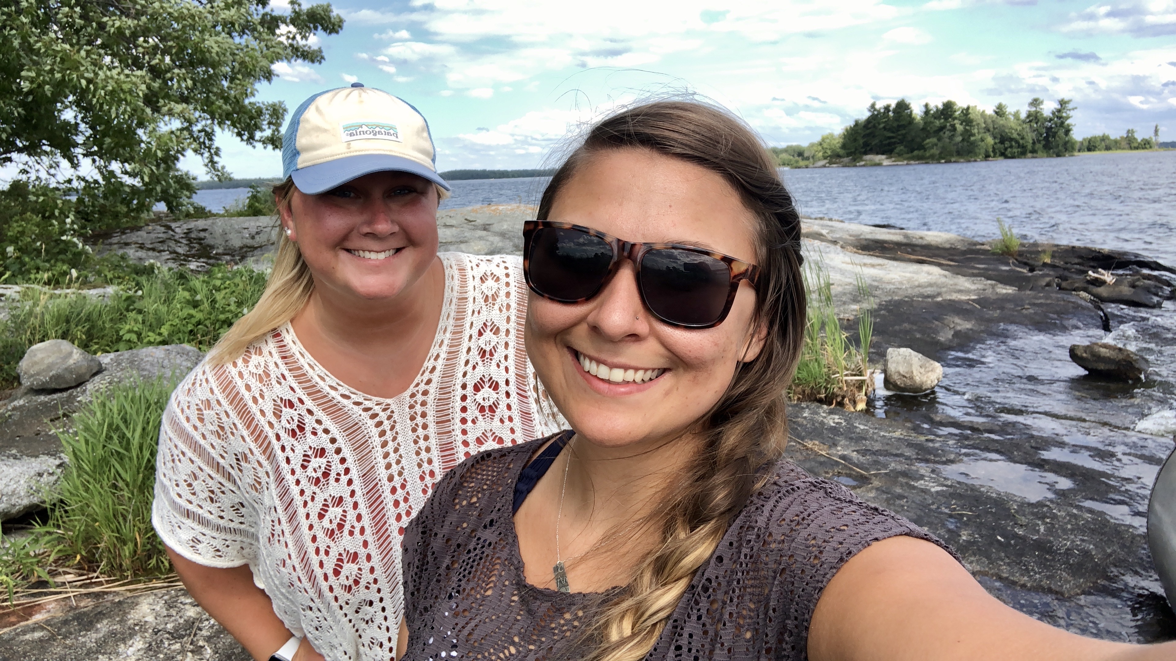
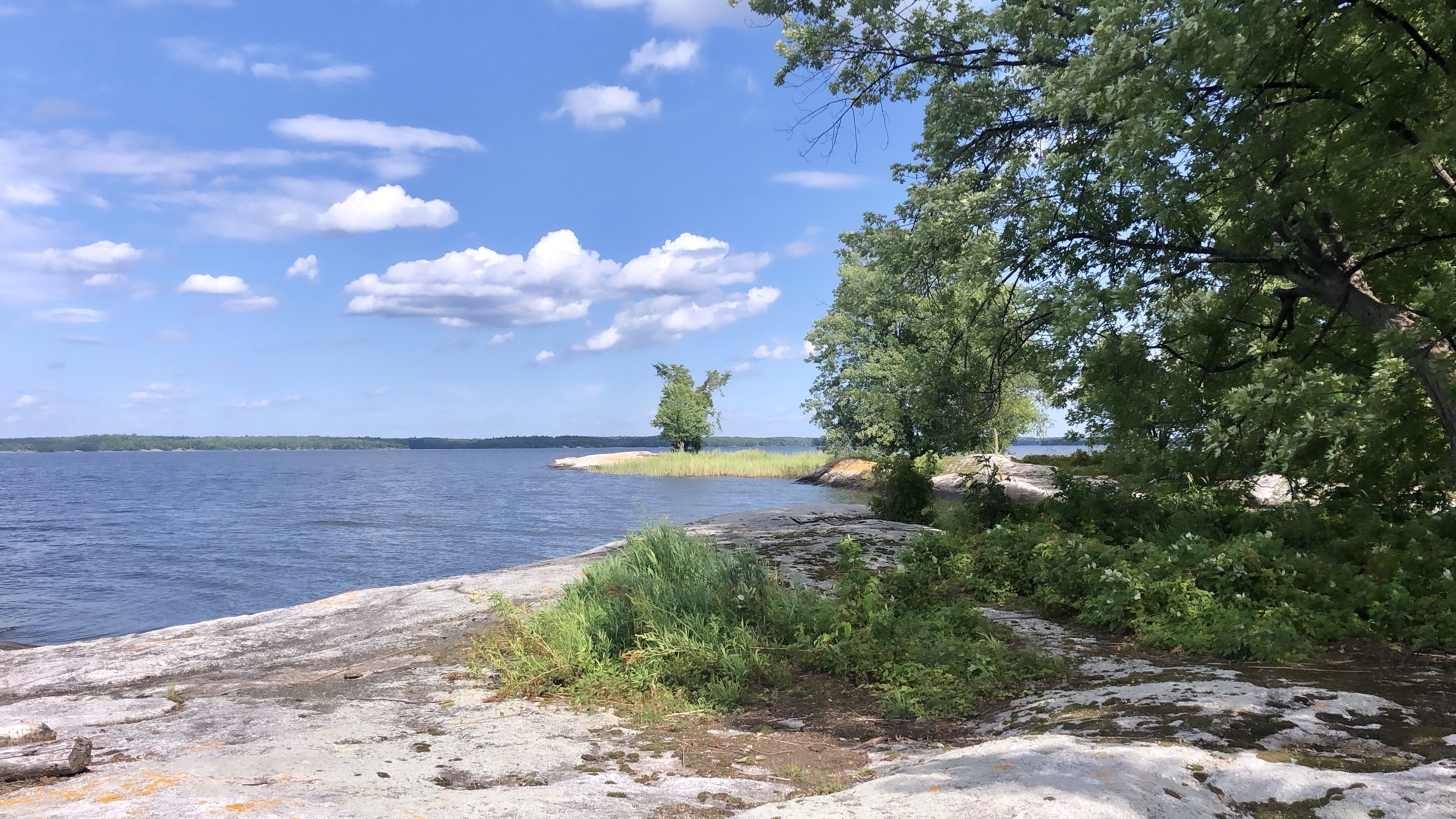
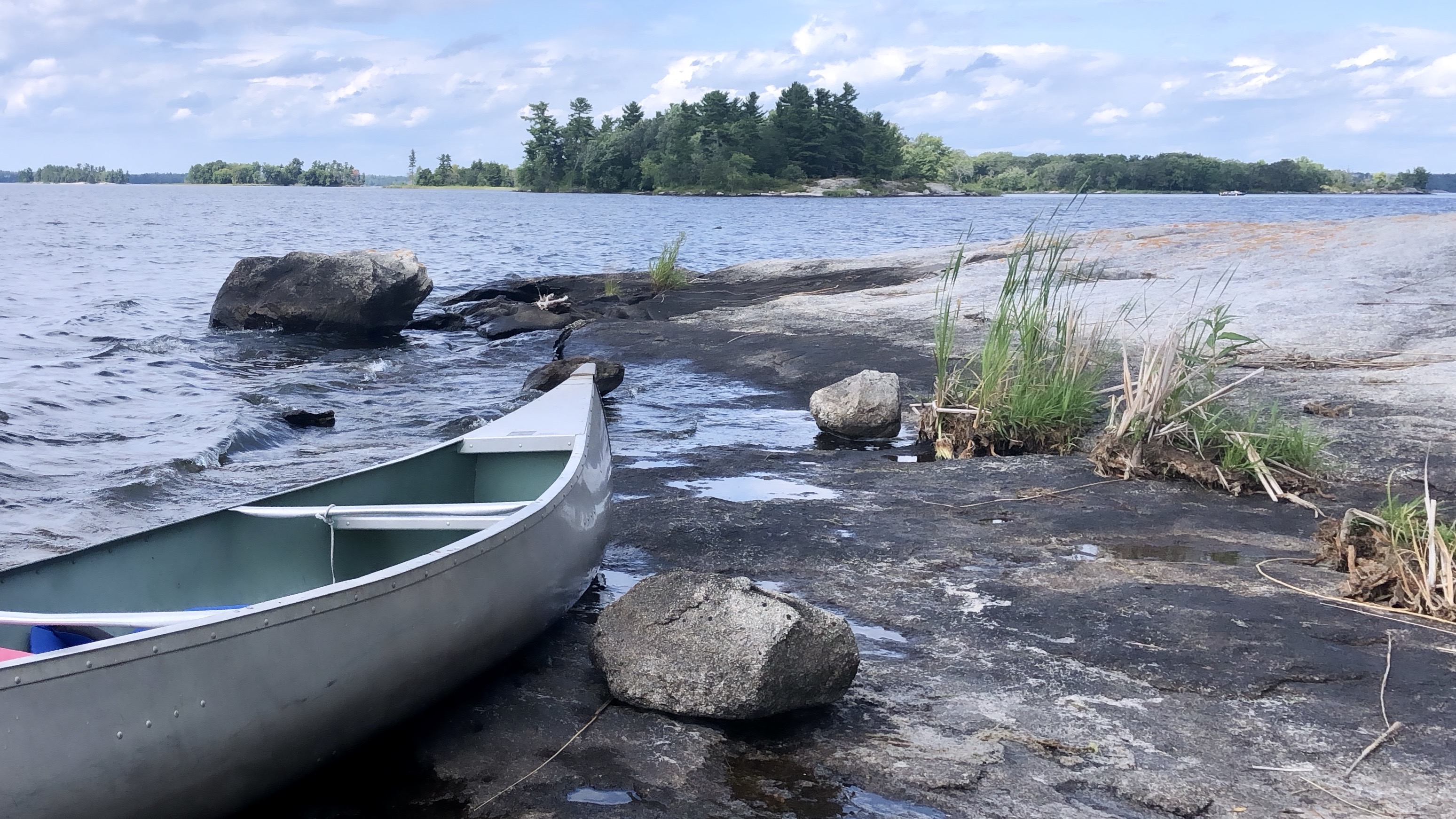
    The next part of our trip included a few days of driving, ultimately making our way up to Bar Harbor, ME. The states we stopped at along the way included: Maryland, Delaware, Pennsylvania, New Jersey, Massachusetts, Connecticut, New Hampshire, and then, Maine. This trip had quite a bit of driving, but it was awesome being able to explore this part of the country. While we were a few weeks early for fall colors down in Virginia, as we continued north and eventually made our way into Maine, the colors were beautiful!

  • Voyagers & Isle Royale

    Voyagers

    Voyagers National Park is located in northern Minnesota, close to the Canadian border.  My family used to travel to northern Minnesota every summer to fish, boat, and enjoy the lake life, so I was pretty excited to make a trip back.  In a way, it felt a little bit like going home.  One of my favorite parts about exploring Voyagers was having the opportunity to slow down and take in the park at a more leisurely pace than we usually do.


    Voyagers National Park is comprised of multiple lakes and forested regions.  Kabetogama Lake is the area we decided to explore, and after some research, we decided the best way to see it would be by canoe.  We rented a canoe from Arrowhead Lodge, which was located right on the lake.  We canoed to an island a bit off shore, “docked” our canoe, and walked around a bit.  After a while the sky started to get dark, so we decided to head back, and made it back just in time for it to start raining.  Canoeing was a fun adventure; however, I won’t disclose how many times we almost tipped over while trying to take a few pictures 😉.

    Following our canoe adventure at Voyagers, we drove to International Falls, MN.  We debated crossing the border into Canada, but decided to just go have some pizza instead.  After dinner we walked around some shops downtown and then stayed a night at a local hotel.  The next day we were headed up the North Shore of Lake Superior!

    Isle Royale

    The next day we made our way up the North Shore and stayed at Caribou Highland Lodge, which was just south of Grand Portage, MN.  This was a cool, rustic lodge in the middle of the wilderness.  We enjoyed an evening full of our favorite things: live music, happy hour, nachos, lawn games, campfires, and s’mores.  Early the next morning we would be headed on a ferry boat to Isle Royale National Park.  Pro Tip: Royale is pronounced “Royal.”

    Isle Royale is not a very well-known, mainly because it is off the beaten path.  This park sees as many visitors annually, as Yellowstone does in one day.  If you want to visit this park, make sure to plan accordingly as the ferry only travels from roughly mid-April to the end of October.  Our ferry ride out to Windigo was very smooth, with clear waters and sunny skies.  The ride back was basically the opposite, but I guess it’s quite common to have that experience.

    Once we arrived to the park, we went on a ranger-guided nature walk, learning about the history, vegetation, animals, and some different climate changes the park has gone through over the years.  We learned that there are 14 wolves and 2,000 moose on the island (unfortunately none of which we saw).  Surprisingly, the moose arrived to the island by swimming, where as the wolves arrived by walking across the ice in the winter.  Another fact we learned was that the red berries on the island are edible, and the blue berries are poisonous.  We also spent time at two different ranger talks, one of which educated us on “A day in the life of a moose.”  Fun fact: a moose eats around 8 bathtubs full of vegetation (berries and leaves) per day!!  Overall, we had a fun day exploring this cool little island of a park.

  • Joshua Tree National Park

    The day following our trip to Channel Islands National Park was supposed to be spent at Ventura Beach, however when we woke up it was overcast and chilly.  Instead, we decided to get on the road and head towards our next destination of Palm Desert, CA. 

    Because this was a big trip and costs can add up quickly, we tried to be frugal when possible.  For us, this meant packing a lot of our own food and splitting our time between camping and staying in AirBnb’s.  It’s funny to look back at all the different places we had stayed: a haunted hotel, camping in 20-degree weather by a river, in the heart of Yosemite Valley, a sketchy KOA in blazing hot weather, a run of the mill AirBnb, and now rounding it out by staying at a nice Marriott Resort!  We don’t treat ourselves very often, so we were excited about staying here.  We enjoyed some time relaxing and eating poolside, it was perfect. 

    The next morning, we were up early to make it to our last park of the trip, Joshua Tree National Park, before it got too hot.  Because it gets so hot here in the summer, we were actually visiting in the park’s off season.  There were signs everywhere reminding you to “Hike before 11 am to avoid death.”  I really wish I would’ve taken a picture of one of these signs! While in the park we drove the scenic road, and hiked a few trails (before 11 am 😉).  It was definitely hot, and we both decided that the desert parks aren’t really for us, we’re more of mountain park girls.  Nonetheless, Joshua Tree was very unique and had some cool rock formations. 

    After our time at Joshua Tree, we headed back to Utah with one last stop ahead of us.  We had permits to hike Kanarraville Falls, so we stayed the night in St. George and got up early the next morning to hike.  The water was cold, and we wished we had packed our hiking poles, but it was a fun adventure end to our road trip!

  • Channel Islands National Park

    Channel Islands National Park is comprised of 5 beautiful islands off the coast of Southern California.  The park was established in 1980, and consists of 249,354 acres, half of which are under water. The names of the different islands are: Santa Cruz, Anacapa, Santa Rosa, Santa Barbara, and San Miguel.


    This was the 6th National Park we traveled to on our road trip, however, our time was almost non-existent. Our original plan was to go to Scorpion, which is a part of Santa Cruz Island.  About 2-3 weeks before our big trip, we got a call from the National Parks Service saying they would be canceling trips Scorpion for 2-3 days to do construction on a ladder. Unfortunately, this just so happened to be the same (and only) days we were going to be in the area. Thankfully, they were able to switch our tickets to go to Prisoners Harbor instead, so we were still able to make it to the park.

    We went on a day trip and traveled with Island Packers Cruises, which is the only tour agency that travels from Ventura Harbor to Channel Islands National Park.  It was super foggy in the harbor as we were leaving, but the crew assured us that the weather would likely be different at the park.

    On the ferry ride over we saw HUNDREDS of dolphins, which was probably my favorite part.  A fun fact we learned was that for as many dolphins you see above the water, there are 3-4 times as many under the water.  We also saw a Mola Mola, which is a large ocean sun fish.  The ocean is my happy place, so it was fun to see the marine life up close. 


    The boat crew was right, and blue skies greeted us as we arrived to Prisoners Harbor. We explored the island, which had a very rocky shoreline, but was loaded with beautiful sea shells.  The whole day was spent very differently than it usually is for us at National Parks. On this day we embraced the island life. We relaxed while we ate lunch, and listened to audiobooks at a picnic table, overlooking the ocean. Following lunch, we hung out on the pier with all the seagulls before it was time to load back up in the boat for our trip back.  While there wasn’t quite as much to explore at Prisoners Harbor as there is at Scorpion, we were still thankful we still made it to Channel Islands in general. 

    After we arrived back to Ventura Harbor, we ate dinner at a restaurant what was known for their unique grilled cheeses, and then grabbed some ice cream before heading back to the Airbnb. It was an early night for us, as all our traveling and adventures seemed to quickly hit all at once. I was asleep by 6 pm and slept for 14 hours straight!!

  • Pinnacles National Park

    Pinnacles National Park was promoted from a National Monument to National Park in January 2013. This park is a natural wonder, formed by volcanic activity from millions of years ago. It’s full of canyons, caves (& bats), rock spires, unique vegetation, and infamous California condors. Pinnacles is not a large park, only having about 30 miles of hiking trails, but with all the canyons and boulders, it’s quite popular among rock climbers.


    This was the 5th National Park we traveled to on our 10-day road trip through California, and it’s crazy how much the weather really varied between the different parks! We started at Great Basin, where there was still so much snow in the area, then arrived at Yosemite where we had chilly evenings, followed up with pretty mild weather at Sequoia and Kings Canyon, and now while at Pinnacles the weather was so incredibly hot. The temperature easily reached into the 100s, and the park was quite empty from other visitors.  We had a few hikes picked out prior to arriving at the park, but only ended up exploring one of them due to the intense heat.

    The hike we picked out was Bear Gulch Cave, which really ended up being the perfect hike.  The hike took us past boulders, along a creek, through a cave, and then climbed upwards ending at Bear Gulch Reservoir. While I was initially bummed about only hiking one trail, this ended up being the best trail to explore– the variety of terrain was unmatched. Something cool we learned was that at certain points in the year, they close part of this trail to protect the hibernating Townsend bats from Bear Gulch Cave!

    Other notable hikes to check out if you’re in the neighborhood (in a milder season):

    • Old Pinnacles Trail: 5.5 miles, moderate trail recommended to us by a Park Ranger.
    • High Peaks Trail: 6.7 miles, strenuous trail and is known as a “beginner’s version” of Yosemite’s Half Dome Hike.
    • Balconies Cave: 2.5 miles, shorter hike but allows you some hands-on exploration of one of the park’s talus caves.

    Following our time at Pinnacles we drove to Ventura, CA, which is where we would be staying for the next two nights. We had an airbnb in the heart of Ventura, and headed to the beach almost immediately after arriving. We had tacos at Beach House Taco right on the boardwalk, and enjoyed a beautiful sunset on the beach.

  • Sequoia & Kings Canyon

    After ending our magical time at Yosemite, we ventured towards Visalia, CA, which was conveniently located about 45 minutes from the entrance of Sequoia National Park.  I won’t spend too much time reminiscing about our time in Visalia, but if you’d ask me or my friend, this was probably the worst part of our trip. When we were researching where to stay, this KOA seemed like the perfect place—we would save money by camping, but would have access to showers since it was a KOA, and it was conveniently located near Sequoia National Park.  What we did not know was this KOA was located in the middle of a city (and not exactly in the best part, either), our tent location was less than ideal (right under a very bright street light), our air mattress got a hole in it and wouldn’t stay inflated for anything, our firewood would not ignite, which meant we couldn’t start a fire to cook our dinner, there were flies EVERYWHERE, it felt like a sauna outside (98+ degrees), and we were just straight up grumpy.  Luckily, my friend and I are pretty good at moving past the bumps in the road you inevitably come across while traveling, and were able to wake up with a much better attitude than what we went to sleep with.  We knew in a few days we would be sleeping in a nice bed at an Airbnb, so I think that kept us going, too! 


    Sequoia and Kings Canyon are two separate National Parks, but have been jointly administered since 1943.  Sequoia National Park was actually America’s 2nd National Park, established in 1890, while Kings Canyon was not founded until 1940. The parks have a combined size of 1,353 square miles and both hold incredible diversity and beauty.  From foothills, to mountains, to canyons, to housing some of the world’s largest trees, there is so much to explore.

    Sequoia

    We spent all day going between the two parks. We began our time in Sequoia, hiking the Moro Rock trail. Moro Rock is a steep hike that follows a rocky stairway up 400+ stairs. It’s a dome-shaped, granite formation with a beautiful, panoramic summit view, if you can make it there. While it is a short hike, maybe taking 30-45 minutes round-trip to complete, it is not for the faint of heart or those with a fear of heights.

    Following Moro Rock, we drove around admiring the famous giant trees:

    • Tunnel Log: Named for the large tunnel cut through the trunk after it fell across the road in December of 1937.  There is a bypass near the tree, which allows larger vehicles to avoid the tunnel.
    • Auto Log: Named for another large tree falling across the same road, which used to allow horse-drawn carriages and cars to drive across the fallen trunk.  However, this log is no longer able to support the weight of vehicles, but you are still allowed to walk the length of the trunk.
    • General Sherman: Largest tree in the WORLD.
    • The President: Oldest tree in Sequoia National Park.
    • The House & The Senate: Cluster of giant redwoods located near The President in the Giant Forest.
    • Plus many, many more !!

    Kings Canyon

    Kings Canyon National Park is located within California’s Sierra Nevada mountains, and is also known for its giant sequoia trees. Kings Canyon’s most famous tree is probably the General Grant Tree, located in Grant Grove. We hiked around this tree, and were also rewarded with lots of canyon views throughout the park. After that, we stopped at the Visitor’s Center area to enjoy some ice cream and write on our postcards before driving more along the scenic route. We hiked to panoramic point before eventually driving back to Visalia.

  • Yosemite National Park

    First and foremost, Yosemite National Park is a magical place.  This was the 2nd National Park stop on our road trip through California this past summer, and has been at the top of my list for as long as I can remember.  My friend is a rockstar and landed us a campsite in Yosemite Valley at the Upper Pines Campground, which is not an easy task.  The National Park Service (NPS) opens up the campgrounds online at 8 am sometime in mid-January, and they fill up within literal minutes.  We were so happy to be in the park, and to only deal with the extremely long park entrance line once.

    We arrived to Yosemite on a Saturday, which is usually something we try to avoid (because crowds), but this was just how it landed during our trip.  The line was ridiculously long, but honestly nothing could ruin my mood.

    We entered the park from the north side, and were greeted with beautiful views of El Capitan once in the Valley.  By luck, we found a parking spot on the side of the road near Bridalveil Falls, so we hiked towards the waterfall.  The waterfall was SO FULL due to how much snow we had gotten this winter; it was unreal.  The water was so powerful that we got soaked without even going all the way up to the falls.

    After exploring the area, we checked into our campground, set up our tent, and went out for another hike.  We hiked Mirror Lake, which was short and sweet (3 miles), but perfect for what we wanted.  After hiking Mirror Lake, we headed towards Yosemite Village.  We went into the visitor’s center and then last minute decided to walk up to Upper and Lower Yosemite Falls.  Once we got to the Lower Falls, people were gathering around like they do when an animal is nearby… luck was on our side, and sure enough we were able to see little cub through the trees!!  Everyone knows there is never a cub without a mama bear close by, so after the crowds faded, we stayed put because we knew sooner or later, she would show up.  We kept our distance, and eventually we saw mama bear, in all her glory.  It was really cool being one of the first ones to spot a bear and get to observe before lots of people crowded around.  While bears are obviously common in Yosemite, this was one of the last places we expected to see one because of how crowded it is, but it was awesome!!

    We trekked back to our campsite, started a fire, cooked dinner, and headed to bed somewhat early because we had a big hike the next morning.  We woke up early to beat the heat (and crowds) on our hike to Vernal and Nevada Falls.  This is a challenging, but rewarding hike!  Again, the waterfalls were SO outrageously full that we got undeniably soaked walking up to Vernal Falls.  Some people were smart and brought ponchos or had other clothes to change into after passing the falls, but we weren’t as prepared in that fashion.  I have never seen a more powerful waterfall.  The hike up to Vernal Falls was definitely steep, with countless stairs, but the hike from Vernal to Nevada Falls was more forgiving.  We ran into lots of people that were hiking to Half Dome (bucket list), which is another 4 ish miles past Nevada Falls.  One group even offered us one of their permits, but we were not prepared on the food/water front to hike the additional mileage that day.  Next time, though!!

    We had lunch at the top of Nevada Falls, and then made our descent down the John Muir Trail.  After finishing our hike and packing up camp, we drove out the south side exit.  Out this exit we had a spectacular view of Yosemite Valley as well as at Washburn point, where we had views of Half Dome and the two waterfalls we had hiked earlier that morning.  We had planned to hike Glacier Point, but couldn’t find parking for anything, so just decided to head out.  That evening we drove to Visalia, CA and had an interesting stay at a KOA, which is another story for another post 😉

  • Great Basin National Park

    Great Basin National Park is located in eastern Nevada and is about 3.5 hours from Salt Lake.  This was stop #1 and National Park #1 on the big 10-day National Park road trip we took this past summer.

    Our plan once arriving at Great Basin was to drive the scenic loop, hike the Alpine Lakes trail, and tour the Grand Palace, which is a part of the Lehman Caves.  However, after we arrived to Great Basin, we found out that the scenic drive was only open to the Mather Overlook.  Past that point there was still over 5 feet of snow covering the road to the top!  With not many accessible hikes, we just drove along the road to the overlook and then went on a 90-minute tour of the Grand Palace.


    While Great Basin isn’t one of the most popular national parks, it still has many great things to offer.  With low humidity, high elevation, and decreased light pollution, Great Basin has some of the darkest night skies in the United States, making it phenomenal for stargazing.  They even hold the annual Astronomy Festival at the park in September, which I would definitely want to come back and check out sometime!

    After our time at Great Basin, we drove onto Tonopah, NV and stayed at the Mizpah Hotel.  Apparently, this is a famous haunted hotel… I really have no idea how we both missed that part when we were booking our room, but we found out very quickly at check-in.  There were lots books and memorabilia of haunted stories from the hotel at the front desk, but we agreed not to look up any stories until after we checked out.  Thankfully nothing weird happened, and we drove onto our next destination of Twin Lakes, CA the next morning. 


    The next stop in our road trip was to Lower Twin Lakes Campground.  We picked this spot because it was located close to the Tioga Road, which would’ve given us the perfect short-cut to Yosemite.  Keyword being, “would’ve”.  As our luck with snow and road closures thus far, the road was still closed, and instead of driving 2 ish hours to Yosemite, we had to take the long way, which was closer to 6 hours.  It’s all good though, we knew it was a risk when we booked the campground.  Twin Lakes was a gorgeous area, and fun to explore.  It was too chilly to swim in the lake, but we enjoyed hammocking, napping, and reading near our campsite.

  • Glacier National Park

    Glacier National Park is located in northwest Montana on the Canadian border.  The Continental Divide splits the park between East and West Glacier.  When open, the Going-to-the-Sun Road connects the two sides of the park in roughly 50 miles, however when its closed, it takes about 2 hours to get from one side to the other.  Despite its remoteness, Glacier sees millions of visitors annually. Glacier is known for preserving some of the most spectacular scenery on the planet, and is home to hundreds of our favorite furry friends (grizzly bears)! 

    We made our road trip to Glacier National Park at the end of May.  It’s about a 10-hour drive from Salt Lake, which we broke up by staying the night in Dillon, MT.


    Our first stop was to the Visitor’s Center in West Glacier, but shortly after we arrived, a Park Ranger suggested we drive over to East Glacier.  East Glacier is known for being more scenic, having fewer crowds, and better hiking.  Unfortunately, the Going-to-the-Sun Road was not open to vehicles yet, so it was about a 2-hour drive from West Glacier.  We are always up for maximizing our time though, so if that’s where the best views were going to be, and the weather was going to hold up, we were determined to make it work. 

    In East Glacier we hiked to Running Eagle Falls, Paradise Point, and explored the Two Medicine area.  We had hopes of making it to Many Glacier and St. Mary’s Glacier, but we had already done so much driving, we just couldn’t stand being in the car anymore.  We BARELY missed grizzly bears x 2 while we were exploring the East Glacier side.  Two different groups had seen bears crossing the road either right before or right after us!!  So close, but so far.


    After we arrived back to West Glacier, we stopped at Lake McDonald for a while.  This is Glacier’s biggest lake, measuring 10 miles long and 472 feet deep.  It’s absolutely stunning.  

    We headed back to our campsite at Apgar campground, started a fire, and enjoyed some dinner and wine.

    The next morning, we woke up, drove as far on the Going-to-the-Sun Road that we could, stopping at the viewpoints, and then hiked Trail of the Cedars. This hike is one of the two wheelchair accessible hikes in Glacier National Park. The loop takes you along a raised boardwalk, through a forest of cedar trees and across a footbridge over Avalanche Creek, providing you with views of Avalanche Gorge. At this point you can either continue along the loop or head up to Avalanche Lake. I really wish we would’ve had time for that hike, but the weather and our time-frame just didn’t allow for it. Instead, we did a little more hiking along part of the Going-to-the-Sun Road, which was closed to vehicles, but open to hikers and bikers. We had hopes of seeing a grizzly from a distance, but stumbled upon some hidden gem waterfalls instead. We ate lunch by McDonald Lake and then were on our way.

    Our next stop was to Darby, MT where we met our friend and her cute family at her husband’s family ranch.  We spent the rest of the weekend enjoying each other’s company, playing lawn games, roasting s’mores by the fire, exploring and hiking around a nearby lake (Lake Como), and completing a compass course set up by her father-in-law who was a former marine.  Weekends like this are what I live for.

  • Death Valley National Park

    Death Valley National Park is a land of extremes. It’s America’s hottest and driest national park, and sits on the California- Nevada border. Because Death Valley gets extremely hot, the peak season is from October- April when there are cooler temperatures. We visited in April, just as temperatures were starting to heat up.

    Now, I’m going to preface this post by saying this trip was very memorable, but probably not in the way you’d expect it to be. Most of this post will be about our experiences, and not as much about what we saw while we were at the park.


    Death Valley is about 7.5 hours south of Salt Lake, so we left after work to get a head start on driving, and to ultimately have more time at the park over the weekend.  Best case scenario we would’ve made it half-way, but it started to snow, so we stopped in Cedar City, UT for the night.

    We found a hotel, checked in, and made it to our room, only to hear what sounded like a loud TV on in our room… Not really knowing what to do, we walked back down to the front desk to see if they had double booked our room.  After some back and forth, the front desk guy agreed to go check out the situation.  He knocked on the door, only to have an angry, naked man answer!! The front desk guy somehow held it together, while we all but lost our sh*t. We eventually got set up with a new room, and I’m pretty sure I fell asleep chuckling that night.

    The next morning, we made our way to Death Valley National Park.  The day started off beautiful.  We arrived to the park, hit the visitors center, and reserved a camping spot.  We set up camp, ate some lunch, then set off to explore.   

    Throughout the day we explored Zabriskie’s Point, Natural Bridge, Badwater Basin, Darwin Falls (which is the only waterfall in the park), Devil’s Golf Course, Artists Palate, and were hoping to catch the sunset at the Mesquite Flat Sand Dunes.  While at the sand dunes we realized we weren’t going to get much of a sunset, so we decided to head back to camp and get dinner started.  I wondered for a second if it was going to storm, but that thought came and went because Death Valley only gets 1-2 inches of rain ANNUALLY, and the probability of us getting stormed on was quite low.

    Well, turns out, you shouldn’t assume anything. Don’t assume a naked man won’t be watching TV in your hotel room (LOL), and don’t assume it won’t storm on you in Death Valley even though they only get 1-2 inches of rain per year.

    Picture this, my friend is tending to the fire, getting our hobo dinners cooked, while I’m just chillin’ in my chair trip planning, when all of a sudden a massive wind storm hits.  At first, it was just a few large gusts that blew away our plates and some embers from the fire, but then it kept getting stronger, and it started blowing away everything we had set out. We started running around like crazy, literally just THROWING stuff in the back of my car. 

    After we got everything except our tent in the back of my car, we were trying to decide if we should wait it out, or take the tent down too.  We finally decided to take the tent down, and while we were doing so, a huge gust comes and my friend loses her grip on the tent.  Meanwhile, I was still holding on and am LITERALLY flown into the air (like actually airborne) while holding onto the tent. 

    It’s crazy how many thoughts you can have in your head in such a short period of time, but I specifically remember thinking that if I didn’t let go, I didn’t know how far the wind would actually take me. The tent was acting like a parachute, and I was at its mercy. I knew I needed to let go, so I decided to tuck and roll and hope for the best. After landing, I was lucky enough to just end up with a little road rash, but our tent wasn’t so lucky, and it flew into our neighbor’s Dutch Oven. Let’s just say, he was less than impressed.

    Once back in my car, we attempted to eat our half-cooked hobo dinners and recap/laugh at all the craziness that had ensued.  We eventually finagled the mess in the back of my car so we could recline the front seats, in hopes of getting some sleep. 

    We made it through the night, barely. Originally we had planned on going to see the sunrise and following it up with a 5-mile hike through some slot canyons, however we weren’t really in the mood for any of that when we woke up. We went to the sunrise for a bit, but then just ended up rearranging the car and heading back towards home.

    As we were driving though we decided we didn’t want the whole trip to be a bust, so we stopped at Valley of Fire State Park in hopes of turning our spirits around.  The skies were pretty dark when we arrived, but eventually the sun came out and blue skies followed.

    We had so much fun exploring Valley of Fire. We did a few hikes and then camped at a KOA in St. George that evening.  We seemed to get a lot of funny looks at our somewhat busted tent, but it didn’t storm and we didn’t get blown away, so it was a successful evening. 


    While I might remember Death Valley as more of a death trap instead of for all the beauty it has to offer, I will still always look back on this trip and laugh at all the hilarious memories made.  It might be a while before I return, but I will eventually give Death Valley the second chance it deserves 😉