Saguaro National Park was my second solo park adventure. This Park ranges in elevation from 2,180 ft in the Tucson Mountain District to 8,666 ft elevation in the Rincon Mountain District. The vast differences in elevation create widely varied habitats in each region of the park, making them both equally awesome to explore.
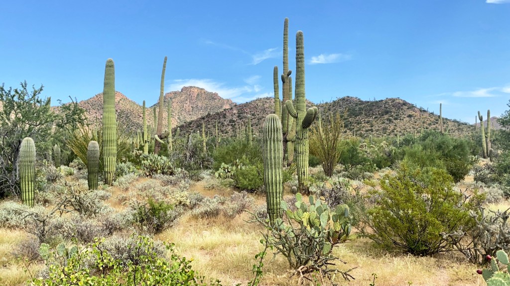
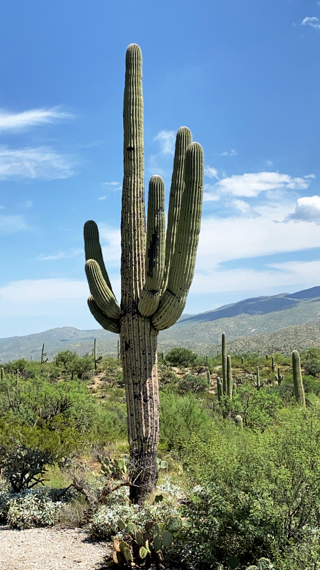
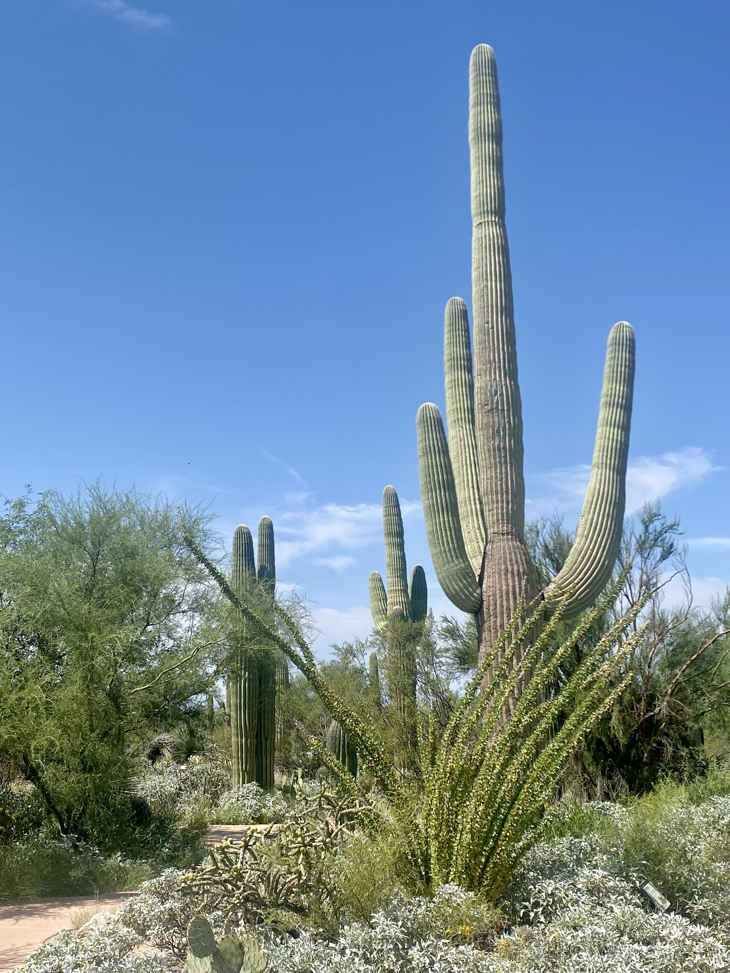
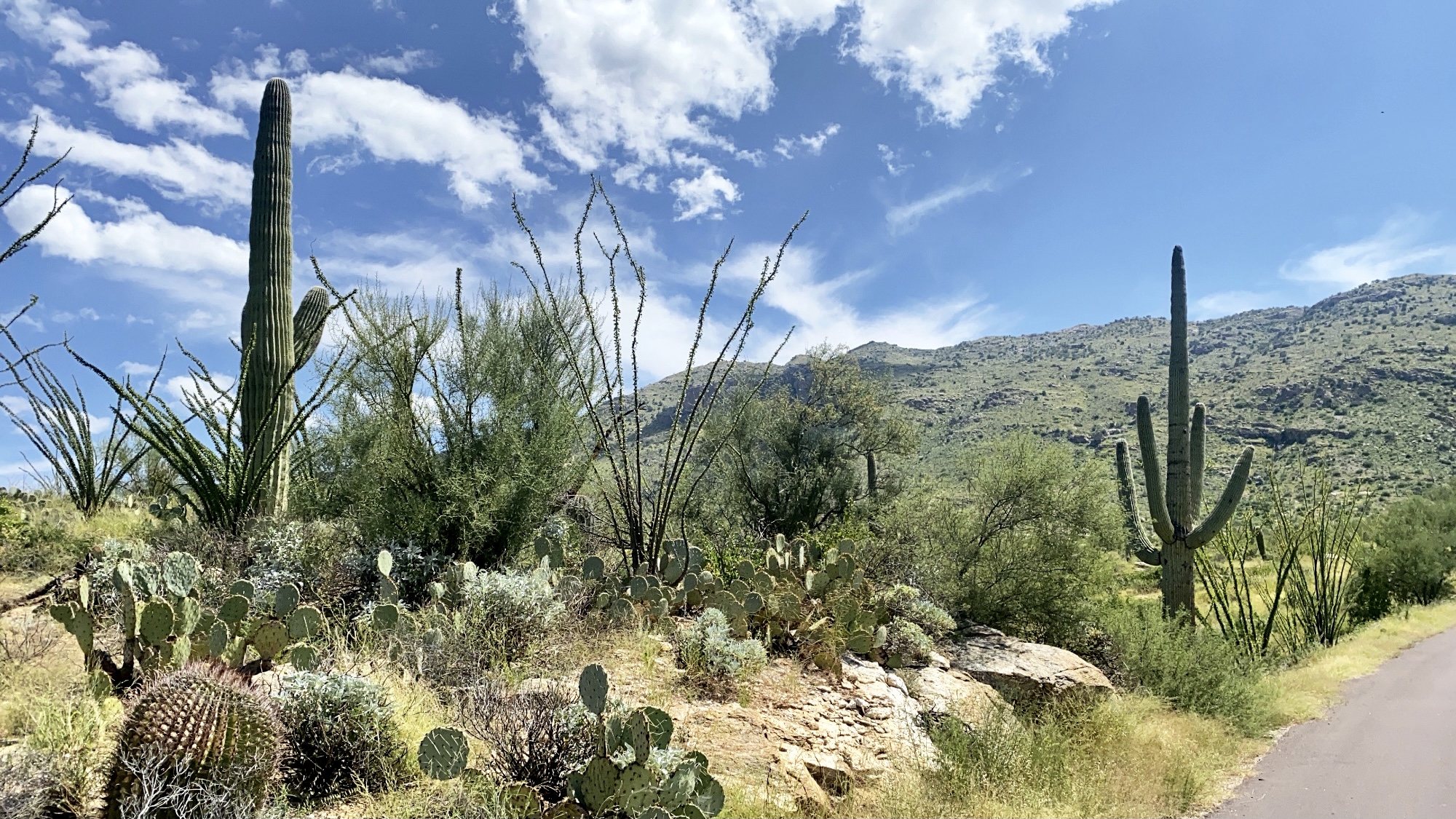
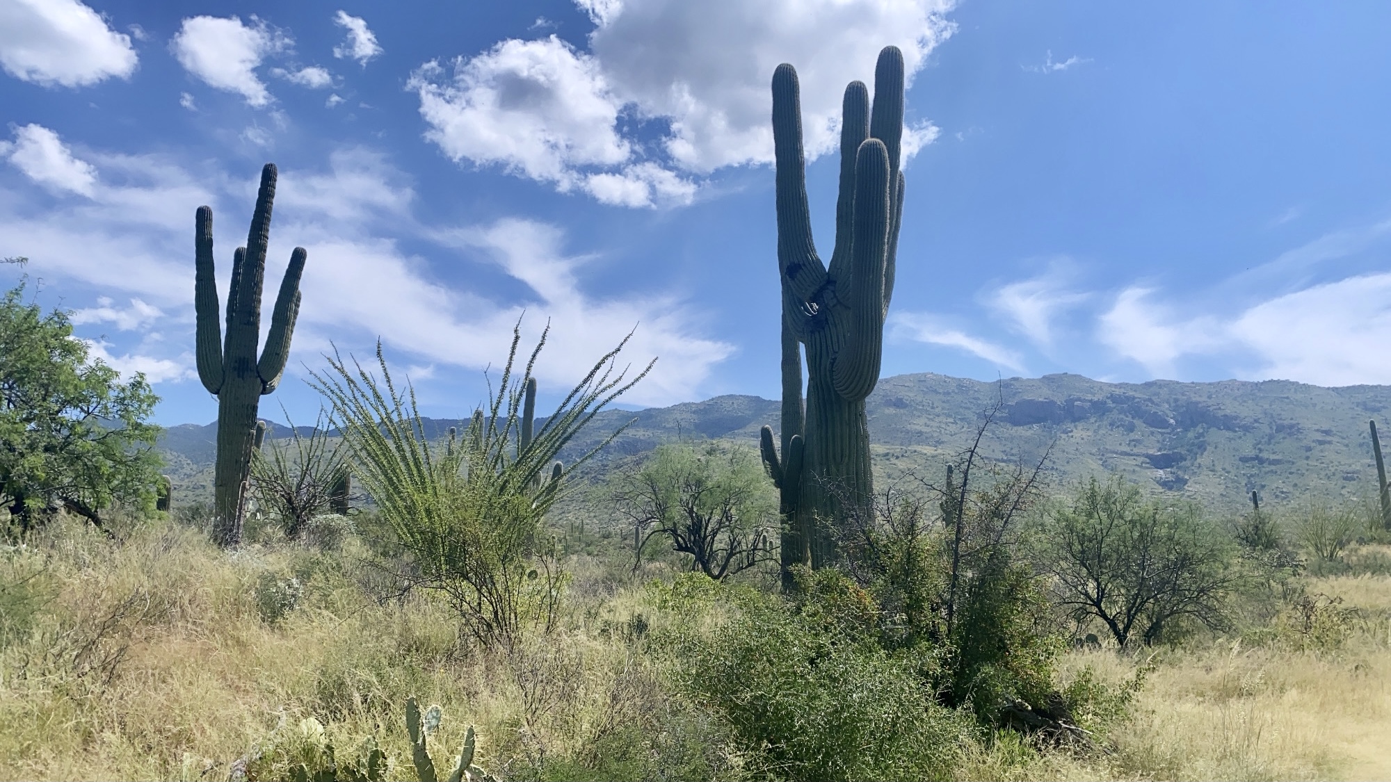
I started off at the east side of the park, which is the Rincon Mountain District. However other than the park loop drive, this park mainly only has access to backcountry trails. I leisurely drove the Cactus Forest Loop drive, stopping to take photos whenever I wanted (because there was hardly anyone else around), and then I hiked the Desert Ecology and Mica View Loop trails.

When I first planned this short but sweet solo weekend adventure, I wasn’t sure if I would have time to explore both sides of Saguaro. Since the east side of the park was not crowded at all, and only really housed backcountry hikes, I decided to drive across Tucson and explore the west side of the park before heading back to the airport. The two sides of the park are about 55 minutes apart from each other. The west side of the park is known as the Tucson Mountain District.

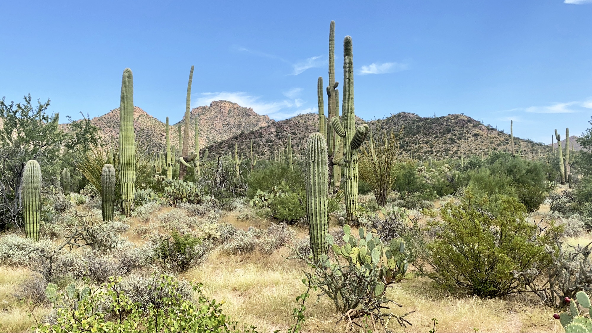
The west side of the park has more abundant, dense cactus forests. While exploring this side of the park I hiked the valley view overlook, signal hill petroglyphs, and desert discovery trail. I enjoyed having time to explore both sides of the park—I liked the park loop drive on the east side of the park better, but the hikes through the dense cactus forests on the west side were so incredible!


Happy exploring!! ❤

Leave a comment